Ein Minenwarnschild auf einem nebligen Hügel.

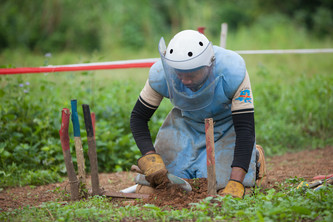
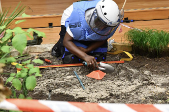
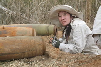
Das ukrainische Verteidigungsministerium hat, mit Unterstützung durch den HALO Trust, eine interaktive Minen-Karte veröffentlicht. Diese soll dabei helfen, Unfälle mit Landminen zu verhindern. Die Ukraine gilt durch den andauernden Konflikt im Donbas aktuell als eines der am stärksten verminten Gebiete der Welt. (auf Englisch)

Das Danger Mines Zeichen mit Totenkopf und Schriftzug.

Quelle: uawire

The Ukrainian Ministry of Defense has published an interactive map of the Donetsk and Luhansk regions contaminated by mines and explosive remnants of war, Ministry's pressed service reported.

“The map can be used to find out the name, area, type, and status of the mined area, the type of threat, the type of marking, the organization that examined the area and the date of the examination,” the report says.

According to the Ministry, the military and civilians have been repeatedly targeted with mines and other explosive devices since the beginning of the Russian aggression on the territory of Donetsk and Luhansk. The information map was developed to reduce the risk of accidents from unauthorized handling of explosive devices.

Lesen Sie hier mehr über die interaktive Karte.